
On October 27, 2025, India woke up to a dual weather crisis: a brewing cyclone off the southeast coast and a sudden chill sweeping through the north, bringing rain, fog, and dangerously high pollution levels to the capital. The India Meteorological Department (IMD) issued urgent alerts as a deep low-pressure system over the Bay of Bengal began its terrifying transformation into Cyclone Montha, expected to slam into the Andhra Pradesh coast near Kakinada within 48 hours. Meanwhile, in Delhi, residents faced a suffocating mix of smog, dropping temperatures, and light rain — all unfolding just as millions prepared for Chhath Puja.
From Bay of Bengal to Andhra: The Rise of Cyclone Montha
What started as a modest depression over the southeastern Bay of Bengal has rapidly intensified. IMD data shows the system’s central pressure dropped by 18 millibars in just 24 hours — a classic sign of explosive cyclogenesis. By Tuesday morning, meteorologists confirmed it would become a cyclonic storm, then escalate into a severe cyclonic storm named Cyclone Montha by Wednesday evening. Wind speeds are projected to hit 130–145 km/h, with storm surges of 2.5 to 3 meters threatening coastal villages between Kakinada and Machilipatnam.
“This isn’t just another monsoon remnant,” said Dr. Arun Mehta, senior meteorologist at Skymet Weather. “The sea surface temperatures here are 1.5°C above average. That’s fuel. And the upper-level winds are perfectly aligned to let it grow.” The IMD has already evacuated over 12,000 people from low-lying areas in Andhra Pradesh and Telangana. Fishing boats have been ordered back to port, and schools in coastal districts are shut until November 1.
Delhi-NCR: Rain, Fog, and the Worst Air in Years
While the south braced for wind and waves, the north faced a quiet but deadly threat: air pollution so severe it’s now classified as “severe plus.” According to the Central Pollution Control Board (CPCB), Anand Vihar recorded an AQI of 429 on October 26 — the highest in over two years. Vaishali and Wazirpur weren’t far behind, hitting 400 and 398 respectively. Out of 28 monitoring stations in Delhi, 25 registered AQI levels above 300.
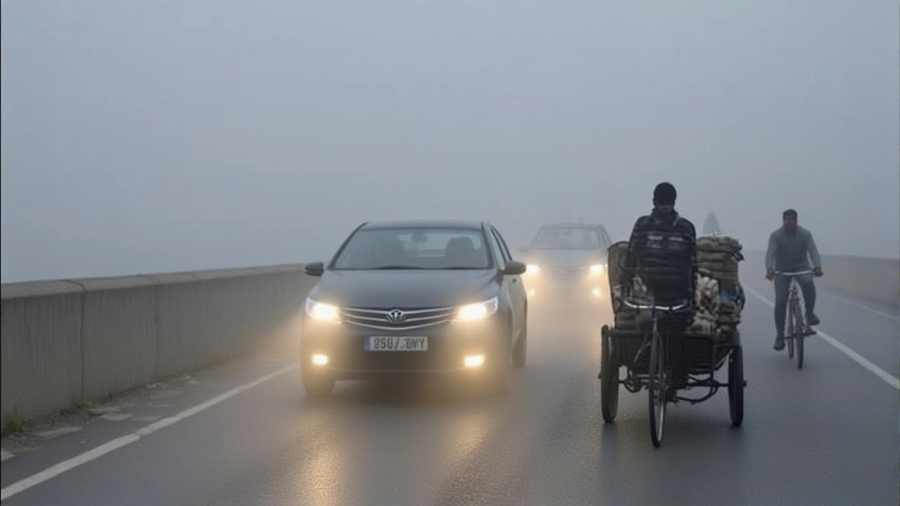
“This isn’t just stubble burning,” said Dr. Rajesh K., senior scientist at IMD. “We’re seeing a perfect storm: stagnant winds, low mixing height, and a temperature inversion trapping pollutants like a lid.” The situation worsened as fog rolled in on October 25 and 26, reducing visibility to under 100 meters at times. Then, on the 27th, clouds arrived — not with thunder, but with a drizzle that barely dampened the dust.
Temperatures in Delhi hovered between 16°C and 30°C, with nighttime lows feeling colder than usual. In Shimla, mercury plunged to 8°C, while Dehradun dipped to 13°C. Snowfall warnings were issued for higher reaches of Himachal Pradesh and Uttarakhand, where roads to hill stations like Manali and Mussoorie are now at risk of closure.
Why This Matters: A Climate Pattern We Can’t Ignore
What makes this event unusual isn’t just its intensity — it’s its timing. October cyclones in the Bay of Bengal are rare. Since 1990, only five severe cyclones have formed in October, and none since 2018. Meanwhile, Delhi’s pollution spike in late October is becoming the new normal. The city’s AQI has exceeded 300 on 18 days in October this year alone — more than any previous year.
“We used to think of October as the cleanest month,” said Dr. Priya Nair, environmental scientist at the Indian Institute of Science. “Now, it’s the transition from summer to winter pollution. The western disturbance that’s bringing rain to Delhi is also suppressing wind — the very thing that used to blow pollutants away.”
Even the rain isn’t helping much. Light showers aren’t enough to wash out PM2.5 particles. In fact, damp air can make them heavier and more likely to settle in lungs. Health officials have reported a 40% spike in respiratory emergency cases since October 20.
What’s Next? The Clock Is Ticking
For Andhra Pradesh, the next 36 hours are critical. Cyclone Montha’s landfall is predicted for late Thursday or early Friday. Emergency shelters are being readied in 17 districts. Power utilities are pre-positioning repair crews.
In Delhi, the IMD forecasts light rain on October 27 and 28, with skies clearing slightly on the 29th. But the wind direction — still coming from the northwest — means pollution won’t vanish. “The rain might give us a temporary reprieve,” said Dr. Mehta. “But unless we get sustained winds above 15 km/h, the air won’t renew.”
Meanwhile, the western disturbance that triggered this chain reaction is now moving eastward, bringing more rain to Punjab, Haryana, and western Uttar Pradesh. Over 25 districts in Uttar Pradesh have been placed on alert through October 31, with possible temperature drops of 3–4°C in Bundelkhand and Awadh regions.
Background: A Pattern of Escalating Extremes
This isn’t an isolated event. In 2023, Cyclone Biparjoy hit Gujarat in June — unusually early. In 2022, Delhi’s October AQI hit 450, the worst on record. And in 2021, a freak cold wave killed over 150 in Uttar Pradesh. Climate models now show that the frequency of extreme October weather events in India has doubled since 2000.
“The Indian subcontinent is warming faster than the global average,” said Dr. Nair. “That means more energy in the atmosphere. More moisture. More instability. We’re not just seeing weather. We’re seeing climate change in real time.”
Frequently Asked Questions
How dangerous is Cyclone Montha compared to past cyclones?
Cyclone Montha is projected to be stronger than Cyclone Amphan (2020) in terms of wind speed but smaller in size. Unlike Amphan, which hit West Bengal and Bangladesh, Montha’s landfall near Kakinada may spare densely populated Kolkata, but it threatens critical infrastructure like the Kakinada port and power plants. Storm surges could flood low-lying areas where homes are built on reclaimed land — a growing risk as sea levels rise.
Why is Delhi’s pollution so bad in October?
October marks the end of the harvest season, when farmers in Punjab and Haryana burn crop stubble. Combined with Diwali fireworks, vehicle emissions, and construction dust, this creates a pollution cocktail. But this year, weak winds and temperature inversions — caused by the western disturbance — are trapping the smog like a dome. AQI levels above 300 are now common, and health experts warn children and elderly are at highest risk.
Will the rain in Delhi actually clean the air?
Not significantly. Light drizzle doesn’t have the force to wash out fine particulate matter (PM2.5). In fact, wet air can make pollutants stick to surfaces and re-suspend later. Only sustained rainfall over 24–48 hours with strong winds can reduce AQI meaningfully. The current forecast shows only intermittent showers — so don’t expect a quick fix.
What’s the impact on agriculture in Uttar Pradesh?
The irregular rain in 25 districts could damage standing crops like mustard and wheat, especially in Bundelkhand, where farmers rely on timely irrigation. Sudden drops in temperature may also affect flowering in rabi crops. While some areas welcome moisture after a dry spell, the unpredictability makes it hard for farmers to plan. The state government has advised against harvesting until the weather stabilizes.
Are the Himalayan regions at risk of snow-related disasters?
Yes. Heavy snowfall in Himachal Pradesh and Uttarakhand could trigger avalanches on already unstable slopes, especially near Rohtang Pass and Kedarnath. Roads to tourist destinations like Manali and Joshimath are already showing signs of cracking due to freeze-thaw cycles. Authorities have suspended trekking permits and are monitoring snowpack levels daily. The risk is highest between October 30 and November 5.
How is climate change influencing these events?
Warmer oceans are fueling stronger cyclones, even outside monsoon season. The Bay of Bengal’s sea surface temperatures have risen by 0.8°C since 1990 — enough to boost cyclone intensity by 10–15%. Meanwhile, urban heat islands and reduced wind speeds in northern cities like Delhi are trapping pollution longer. Scientists now call this the “double burden” — more extreme weather and worse air quality — both worsening in tandem.